From the Gallery of Geographical Maps to Giovanni Antonio Magini’s Italy: The Persistence, Recurrence, and Reworking of Flavio Biondo’s Model in the Cartographic and Textual Production between Gregory XIII and Clement VIII
Valentina Balzarotti

The project aims to investigate the persistence and discontinuity of Flavio Biondo’s model, which, as a result of Leandro Alberti’s Description of Italy attained new prominence in the decades between the end of the sixteenth century and the beginning of the seventeenth century.
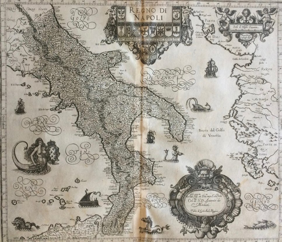
The study examines the evolution of historical space in texts and maps between those produced in the Gregorian era and those produced by Giovanni Antonio Magini. The objective of the research is to evaluate how the cognition and construction of space changed, first in the Gallery of Geographical Maps and then in Magini’s work, in which cartography accompanied by the textual medium is once again the place for gathering information on different contexts. The study aims to investigate the influence of the ancient and antiquarian models of Biondo and Alberti in these representations of the space of the Italian peninsula. It will do so on the one hand by probing into how in the textual and visual descriptions of the sixteenth and seventeenth centuries such models are reevaluated and reused for political ends, and on the other hand by identifying the most marked cultural differences between historical representations and thereby reflecting on how the interpretation of common models has varied with the context.
